Carbet Falls
Carbet Falls
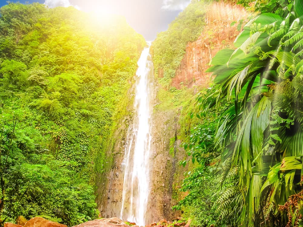
Three waterfalls on the Grand Carbet River, deep within the rainforest of Guadeloupe National Park, at the foot of La Soufrière, in Capesterre-Belle-Eau.
On the Grand Carbet River, at the heart of the rainforest of the Guadeloupe National Park, Carbet Falls form a succession of three waterfalls fed by the eastern slopes of La Soufrière. Located in the municipality of Capesterre-Belle-Eau, this site ranks among the most visited attractions in Basse-Terre and remains inseparable from the image of the island of beautiful waters.
Why visit Carbet Falls
Three waterfalls, three atmospheres and three levels of difficulty: the site offers everything from a family walk to a challenging hike through tropical forest. The dense, humid vegetation of the national park shelters protected flora and fauna that you can observe throughout the trails. The panorama of the river, rocky cliffs and La Soufrière looming in the background gives the place a truly spectacular character, without any need for embellishment.
The site welcomes a substantial number of visitors (figures suggest nearly 400,000 annually), making it one of Guadeloupe's premier attractions.
Ancient history, from name to landscape
The name "Carbet" refers to Amerindian carbets, those large open structures used as collective shelters. A village once stood near the mouth of the river, and its name remained attached to the watercourse and then to the falls themselves.
In November 1493, during his second voyage, Christopher Columbus spotted the falls from the shore of Capesterre-Belle-Eau. His log book preserves a sober and accurate description: "a very great spring that poured water from all sides of the mountain".
The site has experienced several significant geological episodes. In 2004, earthquakes caused major landslides at the second waterfall. In 2008, a municipal order prohibited access to the third waterfall after another landslide. In November 2009, heavy rains triggered another landslide that permanently altered the pools of the first and second falls. Access conditions evolve regularly: it is prudent to check current orders before departing.
The three falls, what you need to know
First fall: the highest
At approximately 115 m in height (some sources cite up to 125 m), it is the most elevated of the three. Access is via a steep trail, rated medium to challenging difficulty, for approximately 3 hours round trip. Less frequented than the second, it is suited to hikers in good physical condition.
Second fall: the most accessible
At 110 m high, it is the most visited. The paved and well-maintained trail makes it accessible to most visitors. The viewing platform offers a clear view of the waterfall and the forest that frames it. Depending on site conditions and current orders, access to the pool may be limited.
Third fall: the wildest
More modest in height (approximately 20 m) but with the greatest flow of the three, it requires effort: pedestrian-only access, 4 to 5 hours of hiking round trip, technical terrain. Reserved for experienced hikers, when access is permitted.
Preparing your hike: equipment and difficulty level
- Hiking boots with lugged soles (terrain is permanently slippery)
- Water in abundance, snacks, light rain jacket
- Swimsuit and towel depending on which pools are authorized for swimming
- Insect repellent, cap, sun protection
- Waterproof bag for phone and documents
Allow approximately 1 hour to reach the viewing platform of the second fall only, 3 hours round trip for the first, 4 to 5 hours for the third. The first and third falls require good hiking experience in humid tropical terrain.
When to go
The dry season, known as "carême" (approximately January to April), offers the most stable conditions: less muddy trails, still reasonable water levels, clearer skies. The rainy and cyclone season (July to November) brings spectacular flows but increased risk of landslides and temporary closures. In any season, it's best to set out early in the morning to avoid heat, crowds and afternoon showers.
How to get there
The site is signposted from Capesterre-Belle-Eau, on the windward coast of Basse-Terre. Allow approximately 1.5 hours of driving from town to reach the access parking areas, via the Traversée forest road and then the D4. Rental car remains the most practical means of access. A modest entrance fee is generally collected at the site entrance, managed by the national park.
What to see nearby
The falls are part of a coherent ensemble worth exploring over several days:
- La Soufrière, the highest peak of the Lesser Antilles at 1,467 m, accessible via several trails from Bains Jaunes
- The Deux Mamelles and Grand Cul-de-Sac marin, other iconic areas of the national park
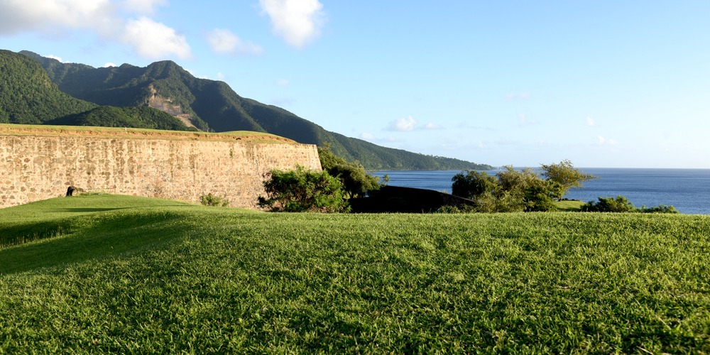
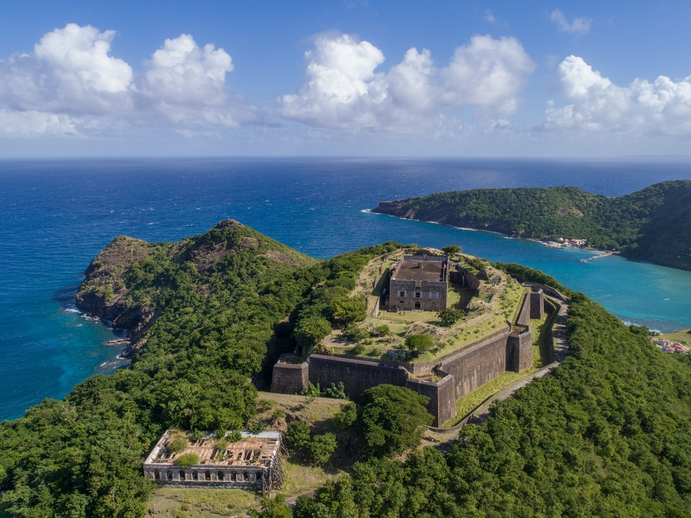
- Fort Delgrès and the Notre-Dame-de-Guadeloupe Cathedral, in Basse-Terre town, for heritage highlights
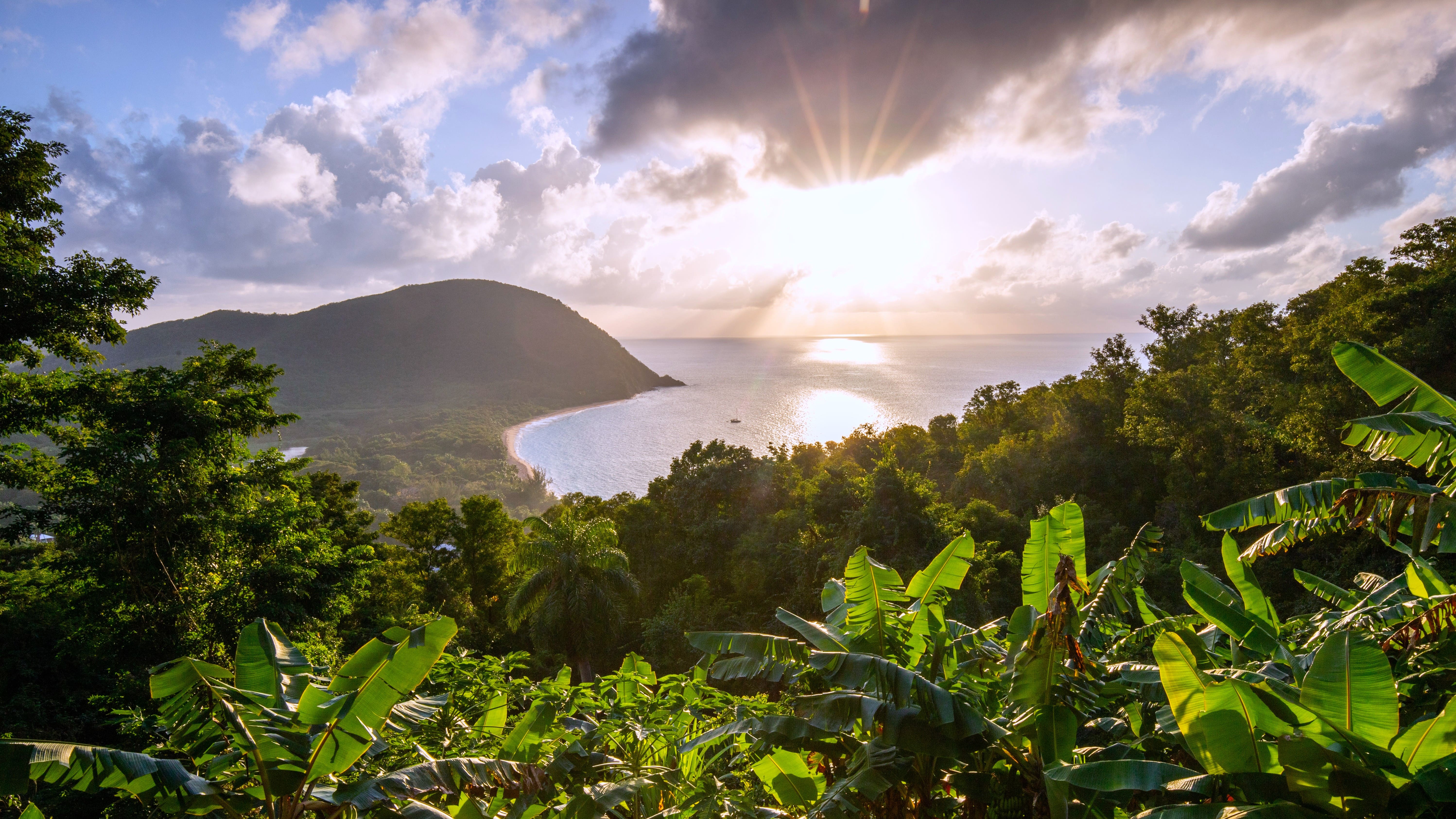
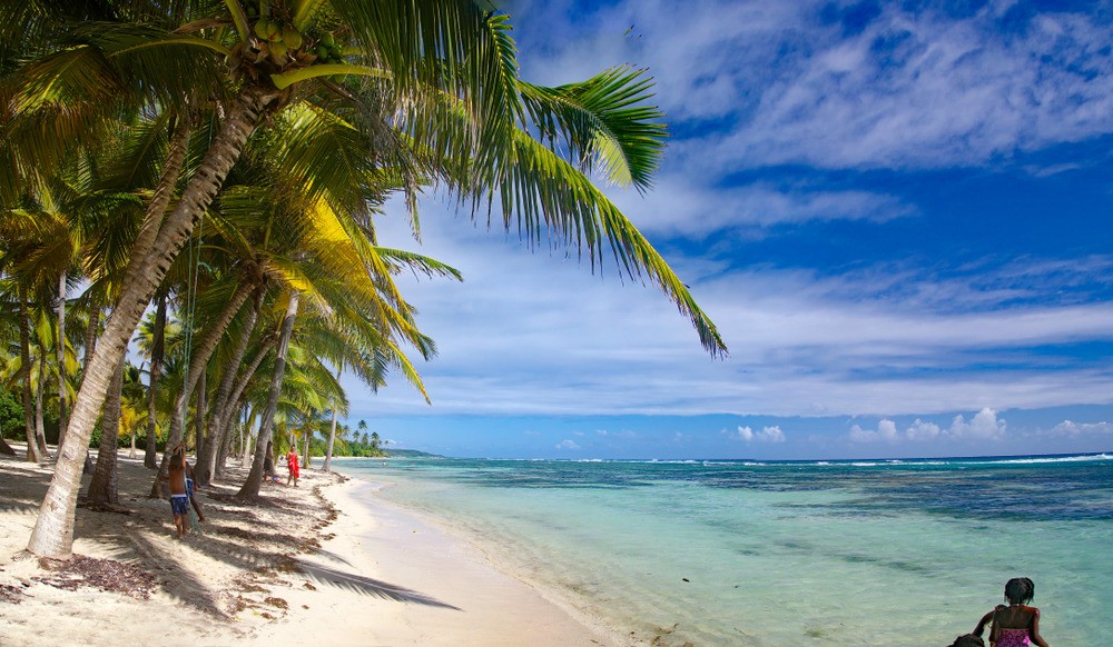
- Grande Anse Beach, to end the day by the sea
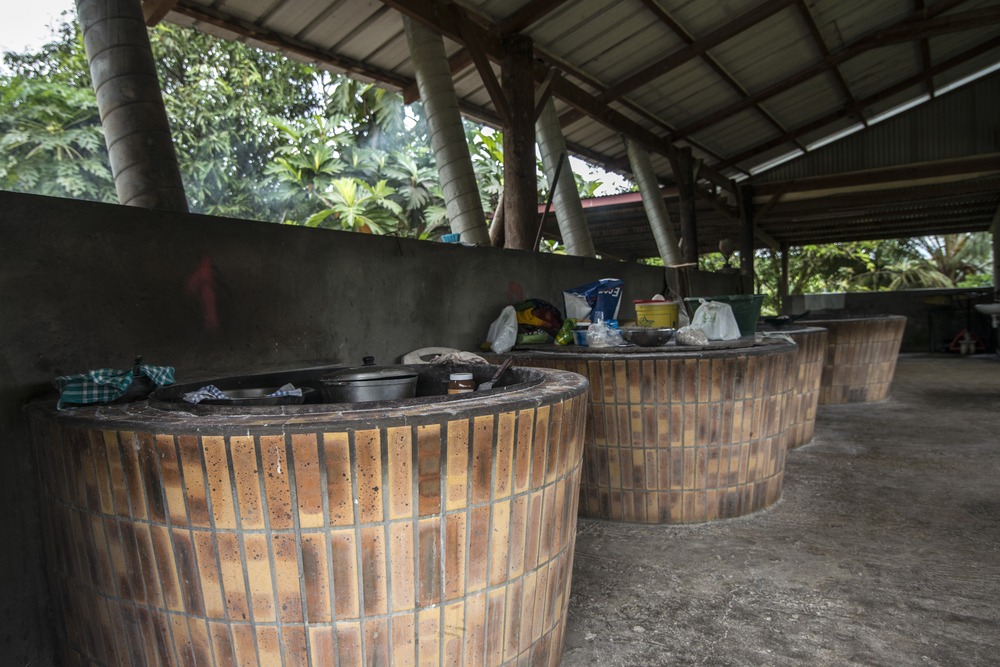
- Damoiseau Distillery, an agricultural rum stop on the way to Grande-Terre
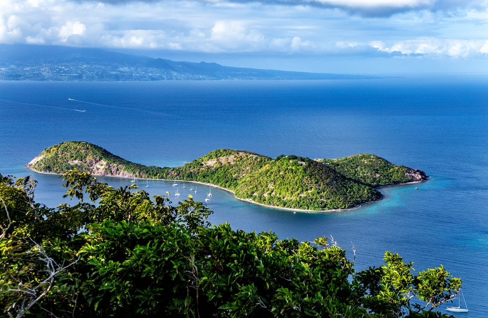
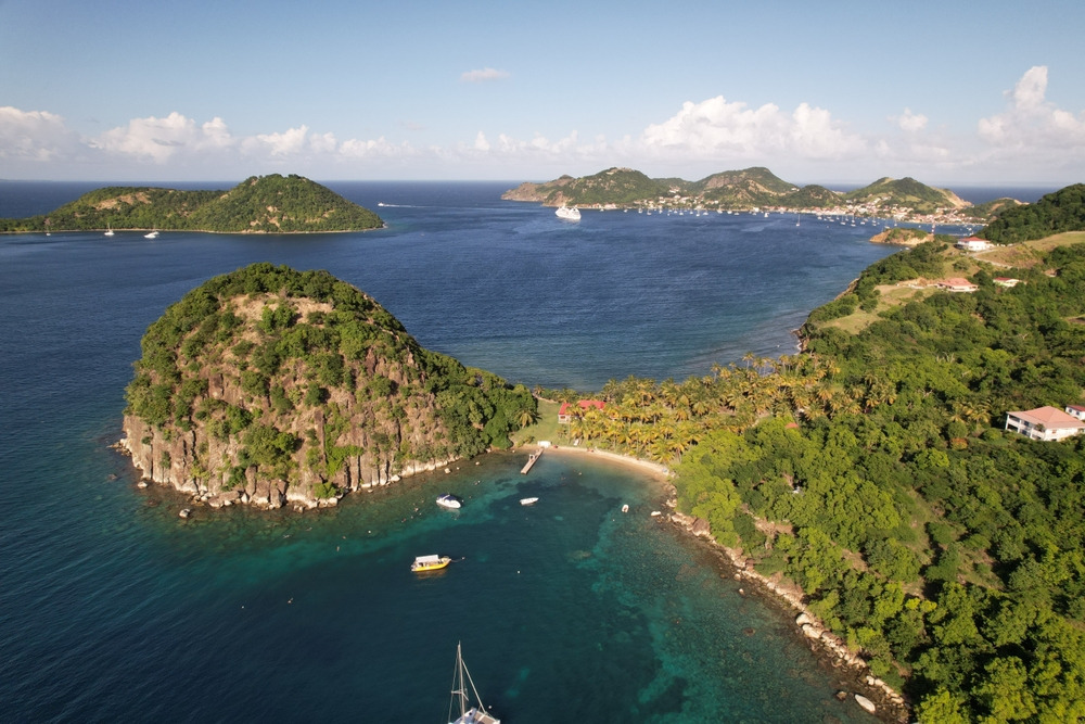
- Chameau Hill in Les Saintes, for another elevated viewpoint of the archipelago
Frequently asked questions
Frequently asked questions
Plan your trip
Carbet Falls fit naturally into a Basse-Terre itinerary combining hiking, Creole heritage and beaches. For a tailor-made itinerary including the national park, La Soufrière and nearby islands, consult our Guadeloupe trips.
Nearby
Interested in this visit?
We can include it in your personalised itinerary.