Basse-Terre
The volcanic western wing of Guadeloupe, where La Soufrière, the rainforest of the National Park and the Cousteau Reserve set a slower pace than Grande-Terre.
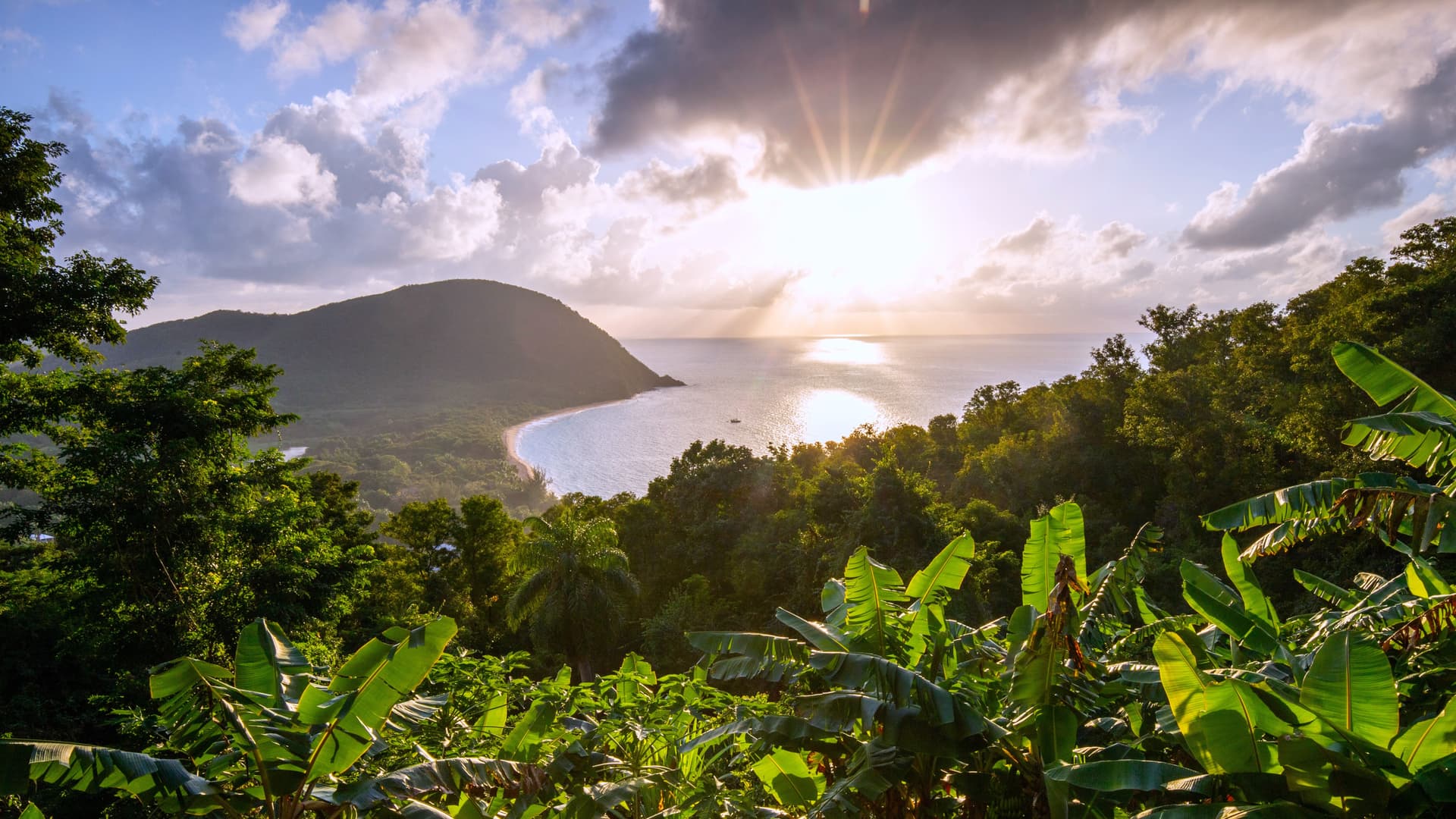
Basse-Terre forms the western wing of Guadeloupe, the mountainous half of the butterfly-shaped archipelago. The island's relief is concentrated here: La Soufrière rises to 1,467 metres, and around it spreads the National Park, some 22,000 hectares of humid tropical forest designated a UNESCO biosphere reserve. Geography commands everything on this island. The windward coast to the east receives trade winds and showers; the leeward coast to the west remains drier and sheltered. Between the two, the volcanic chain acts as a barrier and feeds a network of short but vigorous rivers: Grande Rivière à Goyaves, Rivière du Galion, Rivière Moustique.
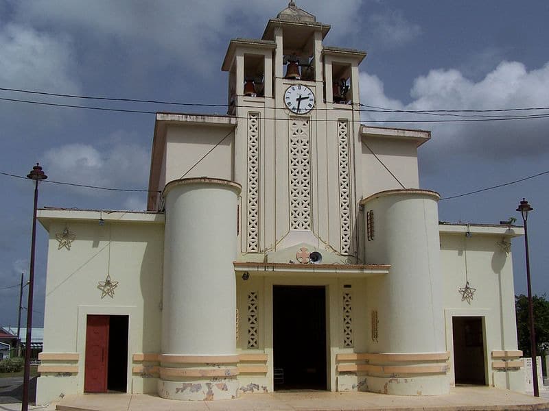
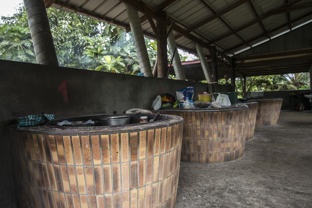
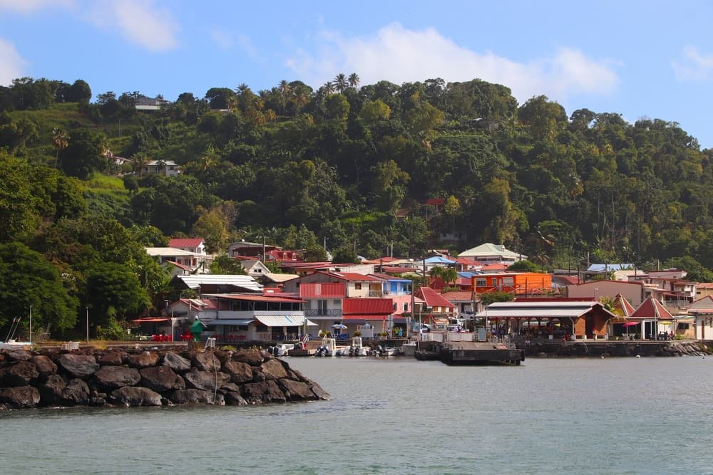
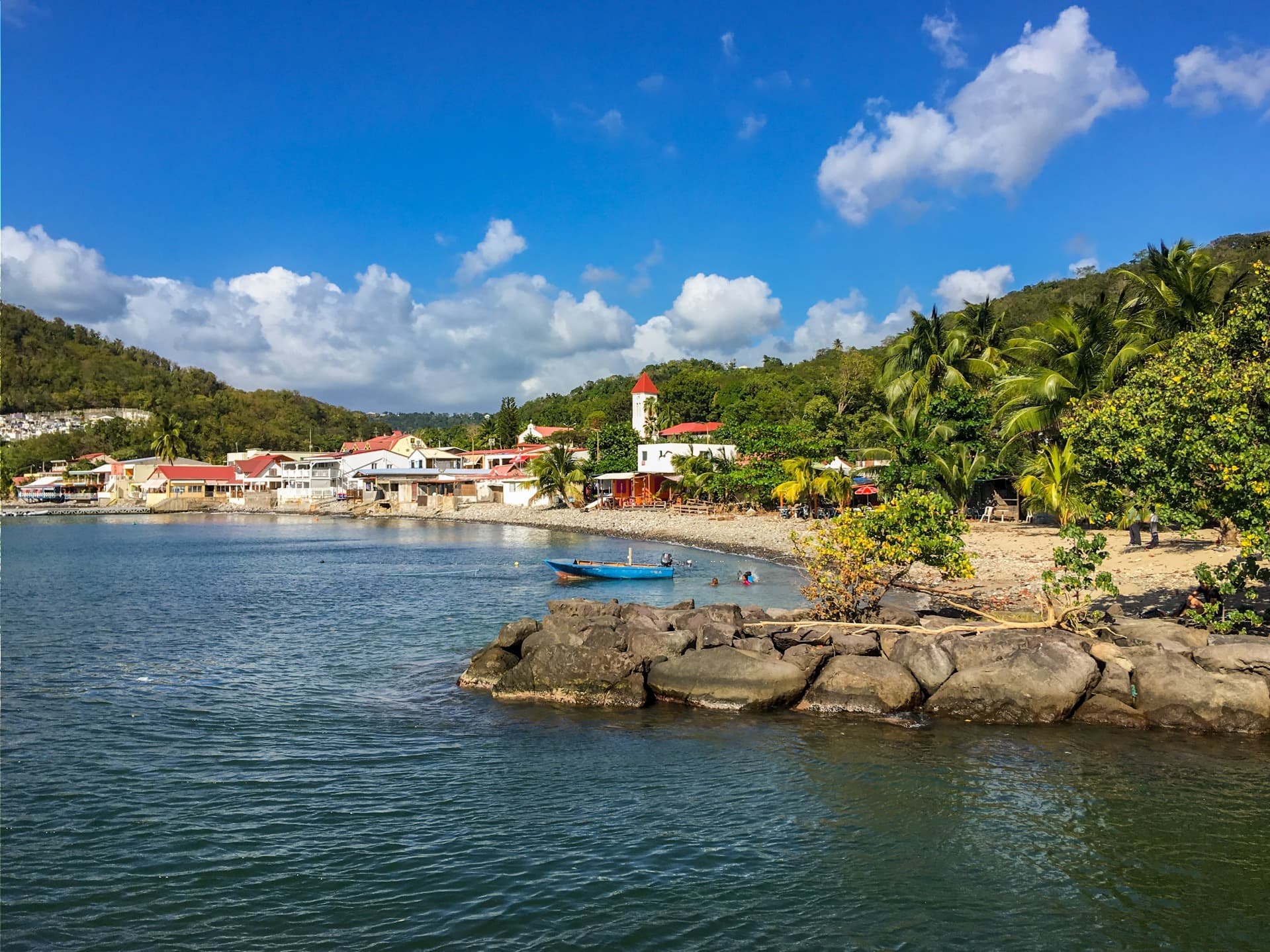
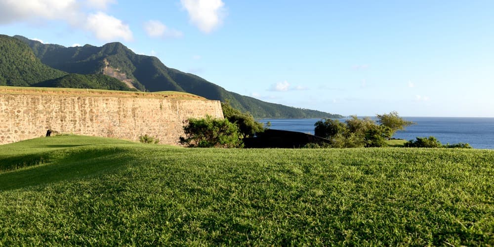
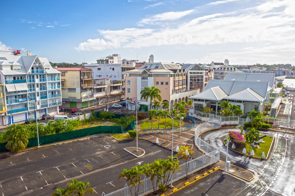
The capital, Basse-Terre, is also the prefecture of the department. It maintains a modest scale, around 10,000 inhabitants, with its Creole houses with wooden balconies and Fort Delgrès overlooking the anchorage. The real economic activity has shifted towards Pointe-à-Pitre and Jarry in Grande-Terre, leaving Basse-Terre with a more relaxed pace. On the west coast, towns like Deshaies, Pointe-Noire, Bouillante and Vieux-Habitants line up their fishing ports, their distilleries (Bologne, Longueteau in Capesterre) and their high-altitude coffee plantations. Vieux-Habitants, indeed, is the oldest village in Guadeloupe, founded in the 17th century, and its coffee museum tells the story of an economy that preceded sugar cane in these hillsides.
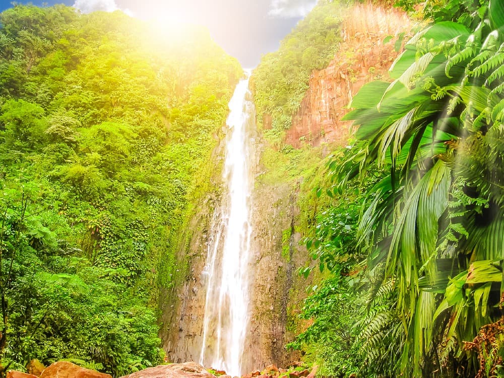
The Route de la Traversée, the D23, cuts across the island from east to west between Petit-Bourg and Pointe-Noire in about fifty minutes. It crosses the Col des Mamelles at 616 metres and provides access to the heart of the park: the Maison de la Forêt, the Cascades aux Écrevisses, the trails of the two Mamelles. Further south, the Carbet Falls, fed by rainfall from La Soufrière, descend in three leaps, with the second at 110 metres being the most visited. Temperatures in these forests hover around 22 to 25°C during the day, but humidity often exceeds 90% and showers can fall at any time.
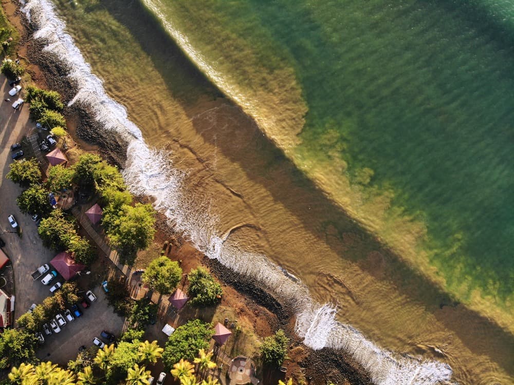
The leeward coast concentrates the other reason to visit: the sea. The Cousteau Reserve, established in 1979 around the Pigeon Islets facing Malendure, protects around 1,000 hectares of reefs. Diving is supervised, visibility ranges from 15 to 30 metres depending on the season, and you'll encounter green turtles, barracudas and sea fans. The beaches of black or dark grey sand, a volcanic legacy, characterise the coastline: Malendure, Grande Anse de Deshaies, Petite Anse. At Bouillante, hot springs surface right into the sea, and the geothermal power station harnesses the same phenomenon to provide roughly 6% of the archipelago's electricity.
On the culinary side, Basse-Terre cultivates a distinctive Creole heritage. Bébélé, a stew of tripe and breadfruit from Marie-Galante but deeply rooted here, matété of crabs for Easter, colombo of goat from family distilleries, salt cod fritters found everywhere on markets. Bonifieur coffee, an Arabica variety grown on the slopes of La Soufrière between 400 and 800 metres, is gradually returning after nearly disappearing. The Cooks' Festival in August in Pointe-à-Pitre attracts master chefs from Basse-Terre too, and Capesterre-Belle-Eau maintains a strong Indo-Guadeloupean community, a legacy of 19th-century Indian indentured labourers, visible in the Hindu temples along the N1.
Our team has a soft spot for this half of the archipelago because it requires a little more time and rewards in equal measure. Where Grande-Terre can be covered in short circuits from beach to beach, Basse-Terre asks you to slow down, to walk, to watch the rain pass over the ridges from a veranda in Pointe-Noire before heading back down to the sea.
Must-see
Climbing La Soufrière. Three hours round trip from the Bains Jaunes car park, through the sulphur and steam of the fumaroles. The summit at 1,467 metres often remains shrouded in clouds; bring a windbreaker even in 28°C heat at sea level.
Diving at the Cousteau Reserve. The Pigeon Islets facing Malendure, in protected waters since 1979. Green turtles appear almost daily, gardens of sea fans between 12 and 25 metres, accessible to beginners and experienced divers alike.
Route de la Traversée and Carbet Falls. The D23 crosses dense forest via the Col des Mamelles at 616 metres. To the south, the three Carbet Falls descend from La Soufrière, the second waterfall at 110 metres is accessible by a 20-minute walk.
Distilleries and Bonifieur coffee. Bologne, Longueteau, Père Labat nearby: tours of cellars and tastings of AOC agricultural rums. In Vieux-Habitants, high-altitude coffee plants between 400 and 800 metres produce an Arabica long forgotten, now being revived.
Deshaies Botanical Garden. Five hectares of former grounds converted into a tropical collection: heliconias, parrots, a koi pond. A shady refuge when the heat bears down on the west coast.
When to go
The dry season, known as carême in Creole, runs from December to April. This is the most stable period: regular trade winds, calm seas on the leeward coast, temperatures of 24 to 28°C at sea level and around 18 to 22°C at altitude. Underwater visibility in the Cousteau Reserve reaches 25 to 30 metres then. From June to November comes the rainy season: short but intense tropical showers, high humidity, and a real cyclone risk between August and October. September is statistically the most active month for hurricanes in the Caribbean arc.
On Basse-Terre, the relief amplifies everything. The windward slope, around Capesterre and Sainte-Rose, can receive 6 to 8 metres of rain per year in the park highlands, compared to 1 to 1.5 metres on the leeward coast at Deshaies. In practice, even in the dry season, bring a waterproof jacket for park trails: it rains almost daily on La Soufrière. May and November are interesting transition months, with lower visitor numbers and still decent weather.
Practical tips
We recommend a minimum of 5 to 6 nights on Basse-Terre for the trip to make sense: a day of diving or snorkelling at Malendure, a day for La Soufrière or the Carbet Falls, a day on the Route de la Traversée and Deshaies garden, plus beach time. Arrival is via Pôle Caraïbes airport in Pointe-à-Pitre, Grande-Terre, then 45 minutes to 1.5 hours' drive depending on the area (Deshaies is the most remote). A rental car is essential, as public transport is limited.
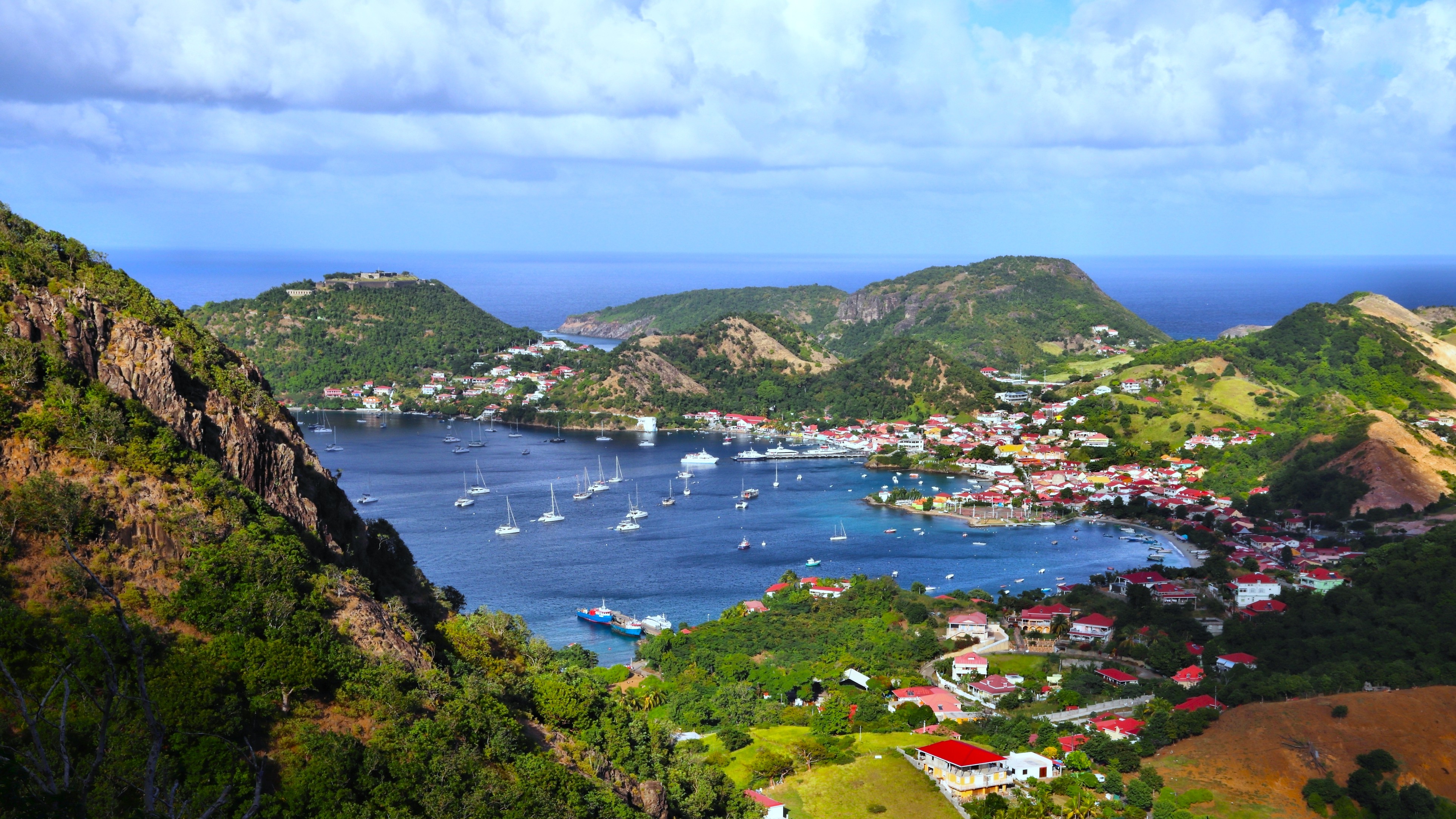
Basse-Terre combines naturally with Grande-Terre, often kept for the beginning or end of your stay for white sand beaches and markets. The Saintes are reached by a 20-minute shuttle from Trois-Rivières on the southern tip, making it a logical 2-night excursion. Marie-Galante and La Désirade require more planning and are better accessed from Saint-François in Grande-Terre. Accommodation ranges from family Creole guesthouses in the highlands to small charming hotels in Deshaies and Bouillante, with no large resort-style structures. The region suits hikers, divers, families with school-age children, and travellers who accept a slower pace than the beaches of Saint-François.